")
")
AutoCAD Civil 3D
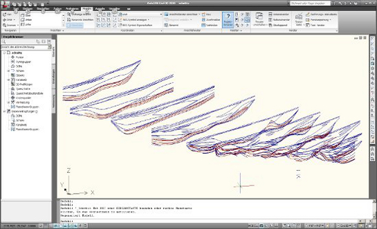
AutoCAD Civil 3D is used by FUMINCO as planning software for opencast mining projects. Main fields of deployments are dump plnanning and final presentation of the project (maps and blueprints). The software allows for the transfer of coordinate system options and transformations, the processing of survey points and the automated creation of survey lines and digital 3-D landscape models. This results in a consistant planning environment which can utilise points, lines and surfaces for the entire planning process.
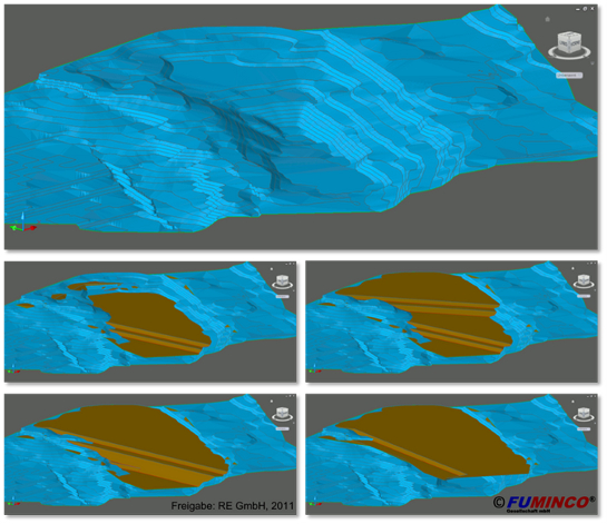
Dump planning is supported primarily by tools for 3-D profile bodys and projection intersections. Slope lines, for example, can be projected on a certain height/depth which enables the planner to exactly lay out the slope gradients and seam widths.
In the course of opencast mining projects AutoCAD Civil 3-D is also used for many support tasks. On the one hand, it is used to perform controlling on mining stages that have been created with GEOVIA SURPAC because the calculation of volumes of stages is very precise with AutoCAD Civil 3D. That is why the entire volume of the block model created with GEOVIA SURPAC is recalculated with AutoCAD Civil 3D. The two volumes thould be identical.
On the other hand, transport routes of trucks and conveyor belts amongst other data are primarily digititalised and measured using AutoCAD Civil 3D. It also allows for the simulation of water flow on surfaces in order to create drainage routes.
Another huge advantage of AutoCad Civil 3D is the interactive link between planning and presentation area. Mine planning and documentation (blueprints) are connected in a way that immediately adopts changes in the planning into the blueprints. That is why AutoCAD Civil 3D is FUMINCOs first choice for the creation of maps and blueprints.